A new approach for nature-integrated sourcing
Designed by mapping landscape conditions onto existing supply chains, to surface hidden dependencies.
Minnow organizes around landscapes first, making sourcing relationships visible and coordinated action possible.
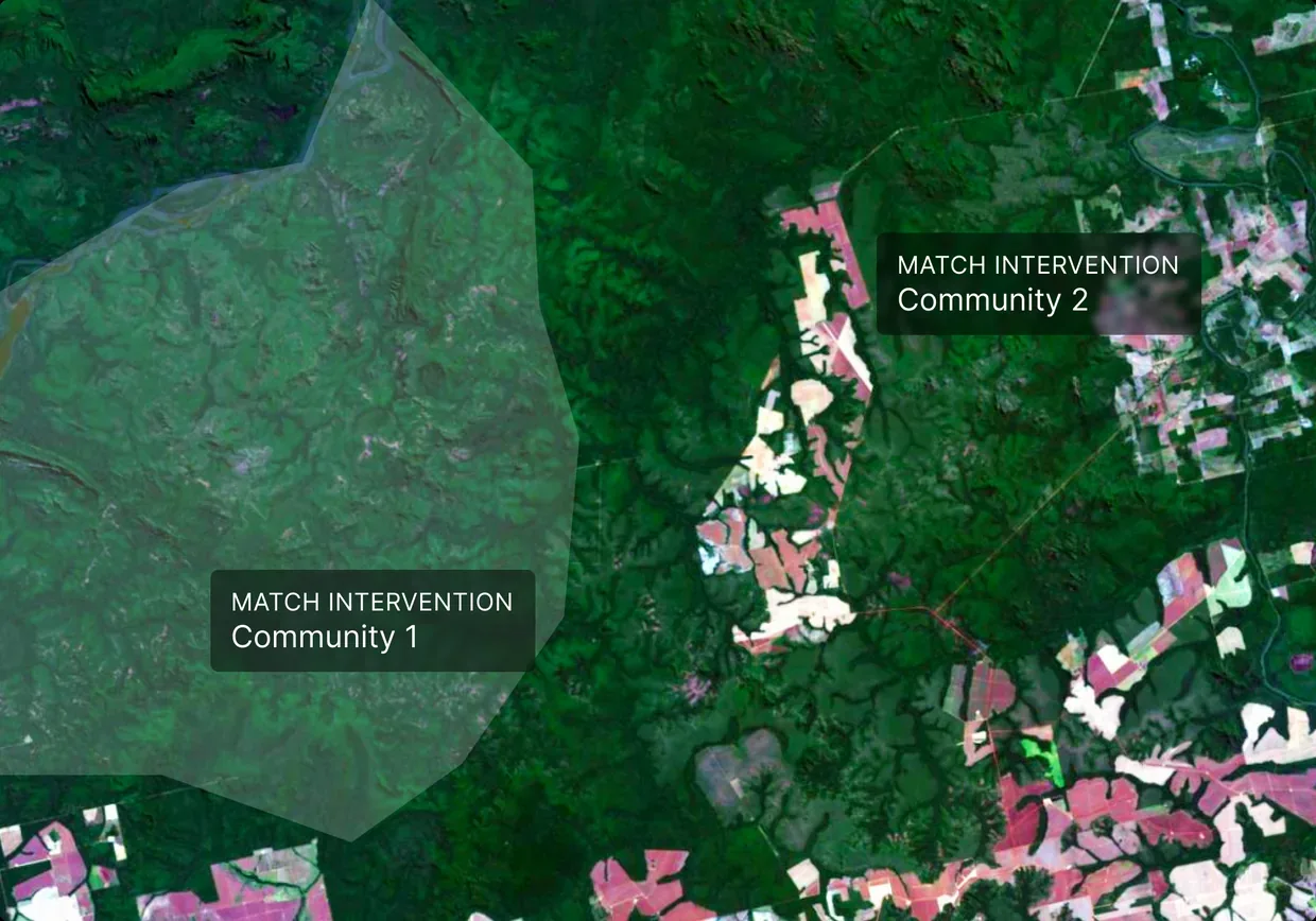
Pillar I
Reframe the geography
For any sourcing geography, the framework produces new parameters - or signatures - defined by the specific variables driving exposure. Ecological conditions, not borders, determine what these signatures reveal.
Pillar II
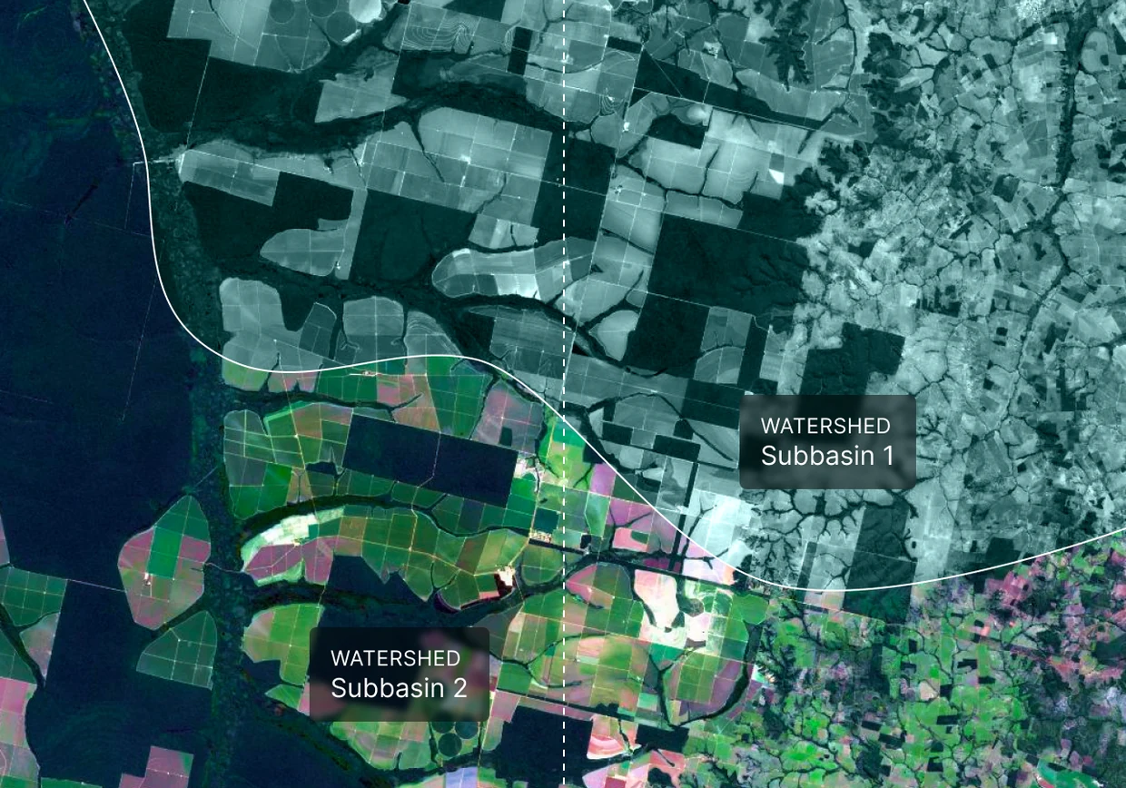
Surface shared exposure
No company sources from landscapes alone. Signatures highlight clusters of stakeholders drawing from the same sourcing geographies, and reveal interdependencies that make coordinated responses structurally possible.
Pillar III
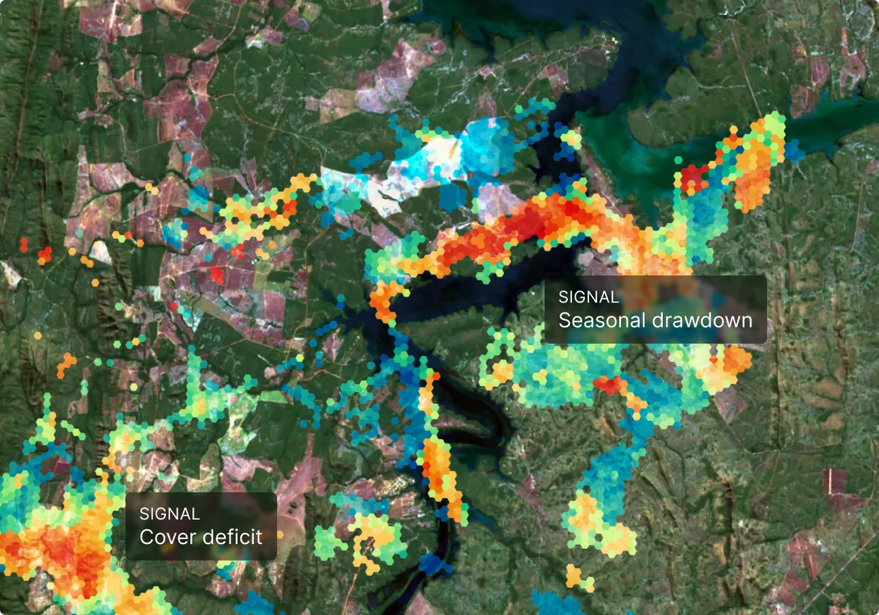
Translate exposure to response
Each set of loss driver variables identified in a signature points toward a matched class of responses. Outcomes - individual or coordinated - feed back into subsequent landscape analyses, deepening understanding and compounding resilience with every cycle.